Innovative Drone Solutions

Transforming Aerial Intelligence

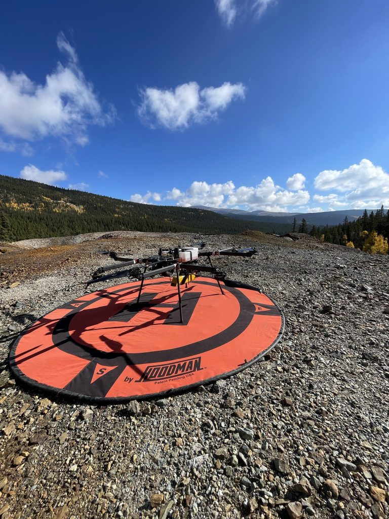
Aero Intel Systems utilizes state-of-the-art drone technology to provide unparalleled aerial imaging, surveying, and inspection services tailored to enhance operational efficiency across various industries.

Get to Know Us

Who We Are

667d556d c348 40b1 af9a 64b942540638
picture2

Aero Intel Systems harnesses cutting-edge drone technology to deliver advanced aerial imaging, surveying, and inspection solutions for multiple industries.

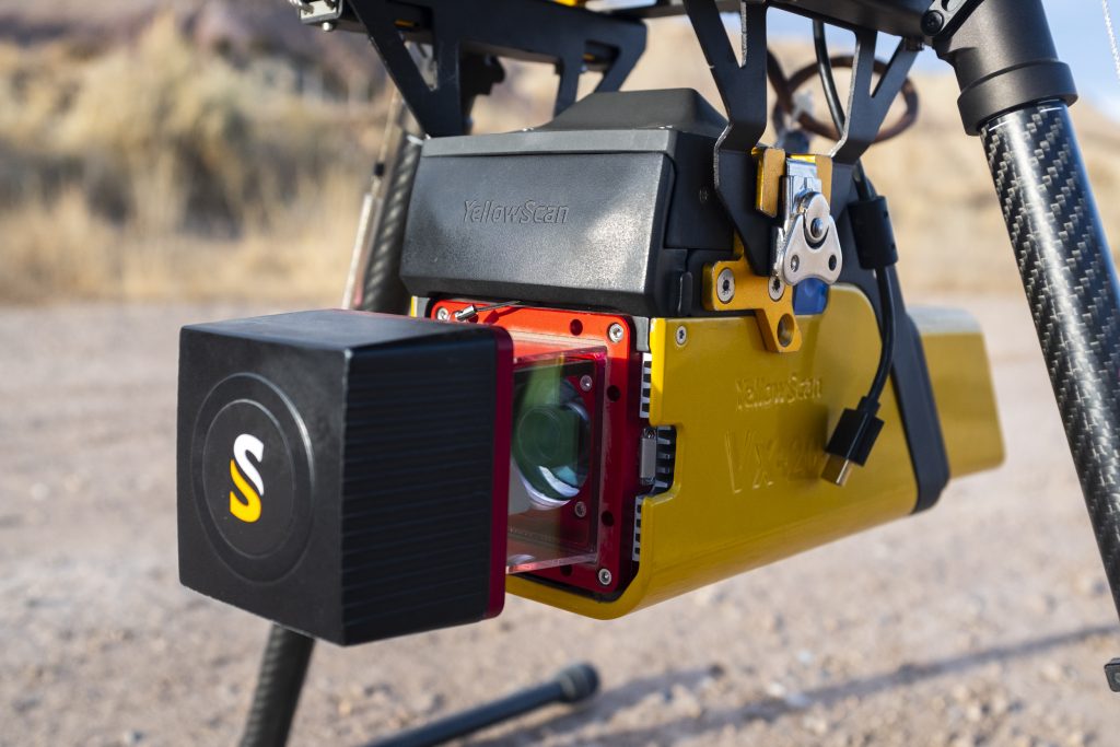
Our expertise spans LiDAR mapping, photogrammetry, magnetometry, and specialized sensor integrations, enabling us to provide precise geospatial data and actionable insights. With a focus on innovation, safety, and client success, we help organizations improve decision-making and operational efficiency.

AeroIntel Systems—Denver-founded and field proven delivers decision ready geospatial data for engineering, oil & gas, and infrastructure teams. We pair long-endurance UAS with survey-grade LiDAR, Photogrammetry, and Magnetometry to reveal accurate terrain and subsurface insight.

Our Journey Begins

The Story of Aero Intel Systems

Aero Intel Systems started as a vision to enhance aerial data collection, founded by a group of passionate tech enthusiasts eager to explore the potential of drone technology.

Over the years, we have grown into a trusted partner for businesses, continuously evolving our services to meet the changing demands of the industry and ensuring client satisfaction.

20191119 (zephyr mcintyre) 10
+
Types of Projects
+
Happy Clients
+
Team Member

Meet Our Experts

Our Professional Team

Our dedicated team of experienced pilots and technicians work tirelessly to ensure high-quality results, backed by a passion for innovation and commitment to safety.

Jack Davis – Chief Operating Officer

With over nine years of field-tested experience, Jack Davis is the operational backbone of the company. From his early days as a lead UAV pilot tackling some of the most challenging missions — flying magnetometer surveys from boats in remote marshes to launching drones from mountain peaks — Jack has consistently demonstrated technical mastery, problem-solving grit, and unwavering commitment to mission success.

Evan Menke – Chief Program Officer

With over seven years in the drone industry and a decade of geospatial experience, Evan Menke brings a comprehensive understanding of UAV operations, data processing, and client-focused project delivery. Evan began his career as a drone operator and data analyst, gaining hands-on expertise in aerial data acquisition and the transformation of raw sensor output into high-value geospatial products. Over the last three years, he has led program operations — managing teams, coordinating deliverables, and supporting business development through technical strategy and client engagement.

Noah Coleman – Director of Operations

As Director of Operations, Noah Coleman brings over six years of specialized drone piloting experience, leading some of the most complex and demanding UAV missions in the industry. Known for his precision, versatility, and deep understanding of aerial data acquisition, Noah is widely recognized as one of the most skilled drone operators in the field.

Ready to Get Started?

Contact us today for a personalized consultation.

Scroll to Top