LiDAR Data Collection
- Applications:
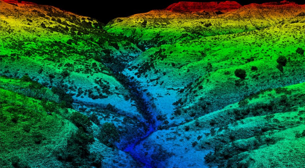
- Topographic mapping & site planning
- Pre-design site surveys & grading plan
- Corridor mapping for roads, rails & utilities
- Cut/fill and construction progress analysis
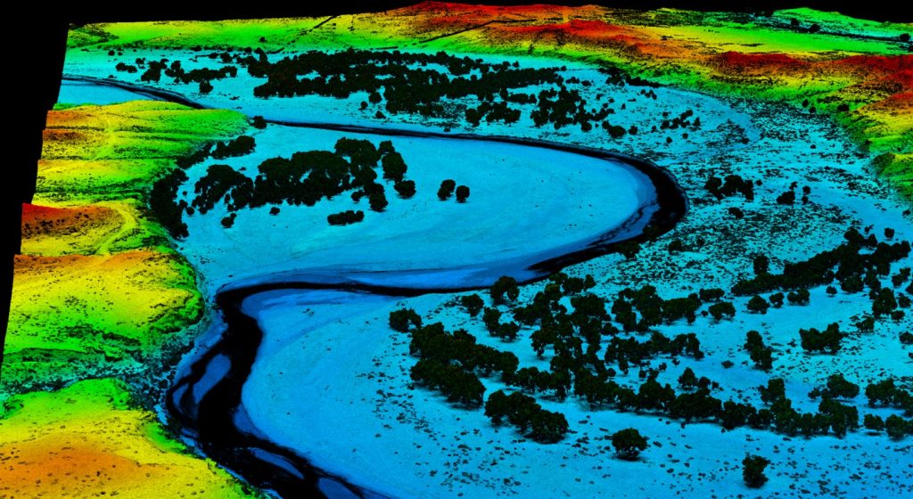
- Floodplain & drainage modeling
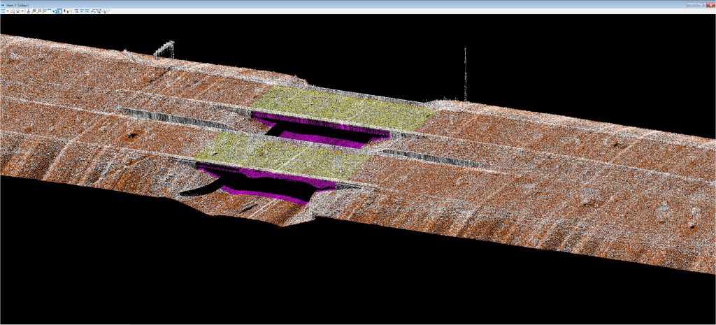
- As-built verification
Vegetation and forestry analysis - Cut/fill and volumetric calculations
- Corridor mapping for utilities, pipelines, and roads
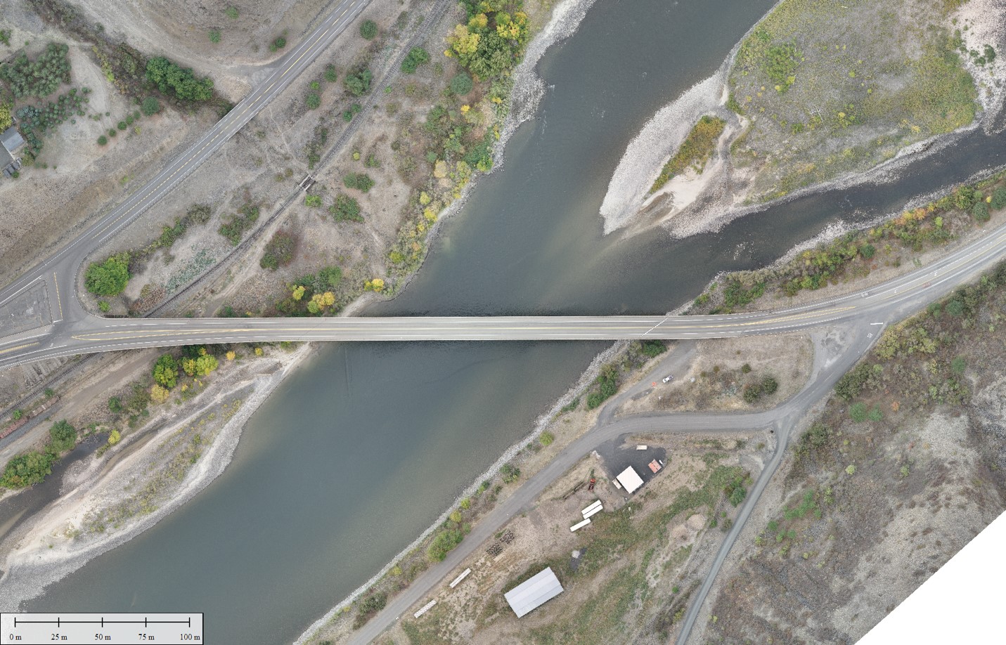
Photogrammetry Data Collection
- Applications:
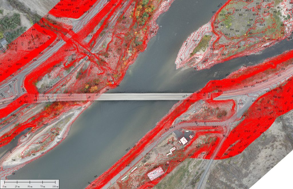
- Orthomosaics for site planning & designOrthorectified imagery for planning and inspection.
- Change detection and progress monitoring
- Stockpile and volumetric measurement
- Structural inspection & documentation
- 3D modeling for design integration.
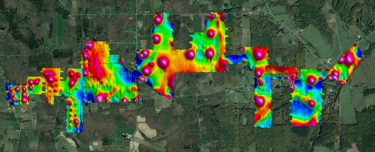
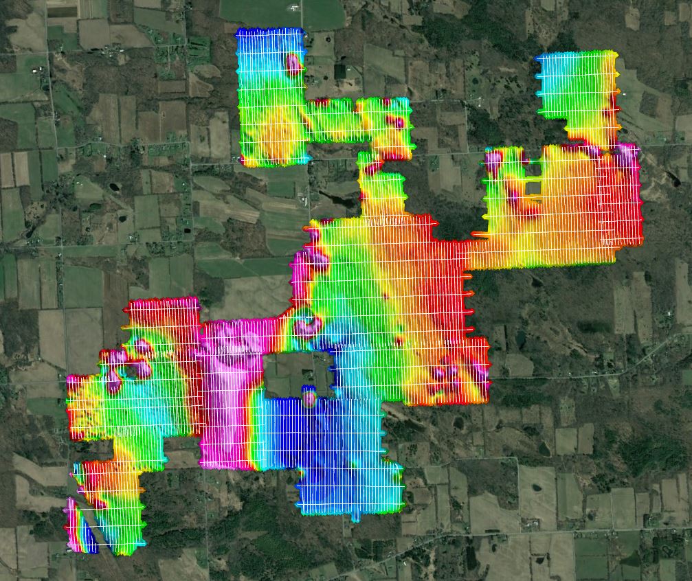
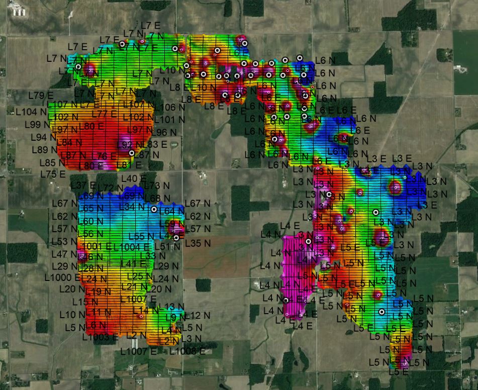
Magnetometry Data Collection
- Applications:
- Locating orphaned or abandoned wellheads
- Mineral exploration & deposit mapping
- Mapping magnetic anomalies for resource assessment
- Pipeline and infrastructure detection
- UXO (Unexploded Ordnance) surveys
- Archaeological site mapping
specialized Sensor Integrations

- Applications:
- Precision agriculture and vegetation analysis
- Subsurface infrastructure and utility mapping
- Heat signature and wildlife surveys
- Hydrographic mapping and coastal studies
- Environmental compliance and leak detection
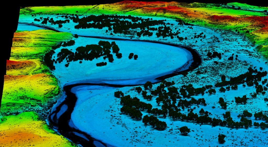
LiDAR Services
UAV-based LiDAR systems capture millions of georeferenced data points per second

Magnetometer
Advanced fixed-wing and multirotor UAV platforms

Photogrammetry
Integrated and operated a wide variety of advanced sensors
Ready to Get Started?
Contact us today for a personalized consultation.
